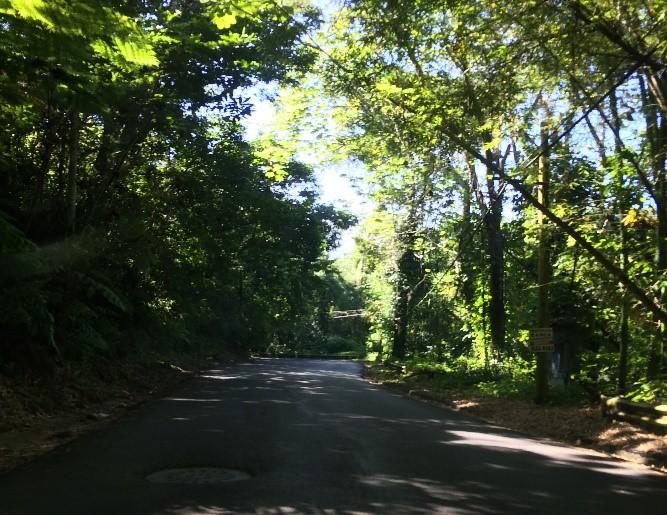
Añasco Vacant Land- "86 cuerdas" FOR SALE
PR-109, Anasco 00610
| Land Size | 338,446 Square Meters |
| Zoning | Not Classified |

Description:
Vacant land parcel consisting of approximately 86.11 “cuerdas” equivalent to 338,446.44 square meters and located on State Road PR-109 with the Añasco Municipality.
Location INFLUENCE:
The property is located approximately 1.80 miles east from the Municipality’s town core bordering State Road PR-109 where commercial properties such as gas stations, bakeries, car repair shops can be seen.
Site Coordinates:
- Latitude: 18°17’12.20”N
- Longitude: 67° 6’43.35”W
Location:
State Road PR 109, km. 7 Humata & Espino Wards, Añasco, Puerto Rico
Site area:
86.11 “cuerdas” equivalent to 338,446.44 square meters
Property id (Tax code number):
155-000-006-46-901 / 155-000-007-19-000
The information contained herein is from sources deemed reliable, but is subject to errors, omissions, and withdrawal without notice.


