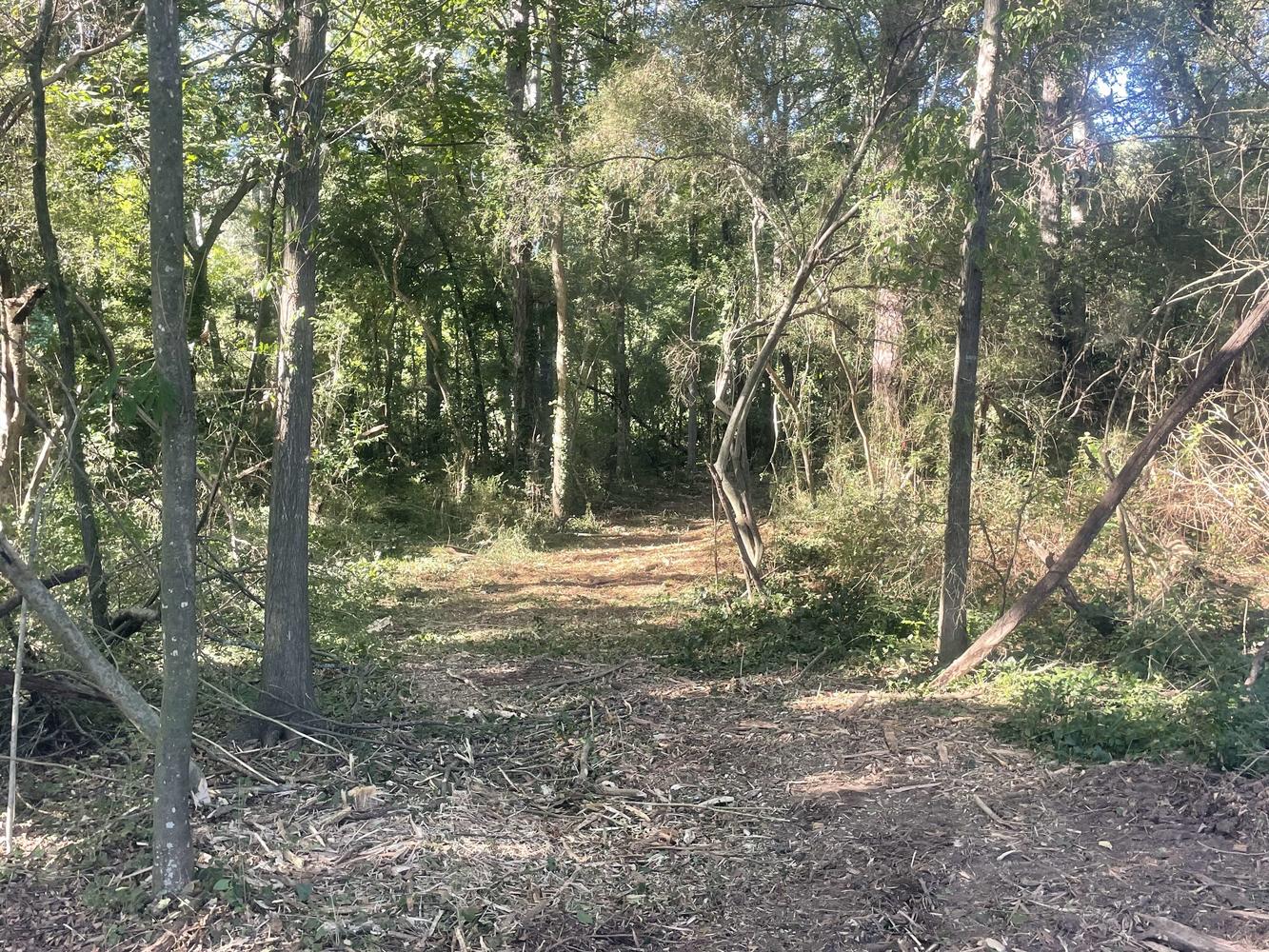
3 Acres Zoned C-1, College Park
$470,000 ($156,667 Per Acre)
Roosevelt Highway, College Park, Georgia 30337
| Land Size | 3 Acres |
| Zoning | C-1 |
| Water | Yes |
| Sewer | Yes |
| Electric | Georgia Power |
REDUCED! 3 Acres zoned C-1. This property has approximately 340 feet of frontage on Roosevelt Highway (US Highway 29) and also has frontage on Old National Highway (Georgia Highway 279). This property is located .9 miles from Roosevelt Highway & 285 to the West, .9 miles to the Exit 62 interchange for Old National Highway and I-285/85, and 1.4 mile from the exit 71 interchange for Riverdale Road (Georgia Highway 139) and I-85. This property is located 3.1 miles from the Hartsfield Jackson International Airport Domestic Terminal. There is no survey and road frontage amount is estimated from public records. Utilities: Power, Water, & Sewer. Bordering the property to the East is an BP gas station. Topography is level and property is situated lower than Roosevelt Highway. There is a steep bank from the property upwards to Old National Highway. Please see below for Permitted Uses and Conditional Uses in C-1 College Park zoning. Coordinates: 33.627718, -84.473608
3.32 - District Intent, Permitted Uses and Conditional Uses.
District Intent: The "C1" District is intended to provide a land use category for small-scale commercial uses that provide products and services to neighborhoods. The provisions that regulate this land use district should promote appropriate commercial uses that are clearly non-conflicting with residential areas of the City of College Park.
The City of College Park's Planning and Zoning Commission should follow the Comprehensive Plan and Future Land Use Map, and strive to use this district selectively, in areas where small-scale commercial centers are appropriate to service neighborhoods. The Planning and Zoning Commission should also strive to exclude businesses from the "C1" district that have an adverse effect on existing or future adjacent neighborhoods.
Permitted Uses:
Institutional/Public Uses:
• Police, fire, or rescue station
• Government office/facility
• Nature preserves
• Passive recreation trail
• Parks and playgrounds
• Public structures and uses in accord with the intent of this district
Business Uses:
• Personal service uses
• Automobile brokers
• Professional offices
• Retail uses (small scale)
• Beauty parlors and barber shops
• Banks and credit unions
• Building and loan associations
• Coin laundry and dry cleaning
• Drive-through restaurants that utilize at least fifty (50) percent of their space as a full-service restaurant.
• Drugstores
• Fruit markets
• Florists
• Bakeries
• Hardware stores
• Meat markets
• Restaurants
• Snack shops, bakeries, and coffee shops
• Brewpub
• Craft beer and wine market
• Microbrewery
• Microdistillery
Conditional Uses:
Institutional/Public Uses:
• Places of worship
• Educational facilities/school (P-12)
• Child and adult day care centers
• Group home, homeless shelter, and halfway home
Business Uses:
• Convenience stores
The information contained herein is from sources deemed reliable, but is subject to errors, omissions, and withdrawal without notice.

