Añasco Abajo Vacant Land 63.60 "cuerdas"
Cll 2, Anasco 00610
| Land Size | 249,973 Square Meters |
| Zoning | AR-1 (Agricultural Reserve 1) |

Description:
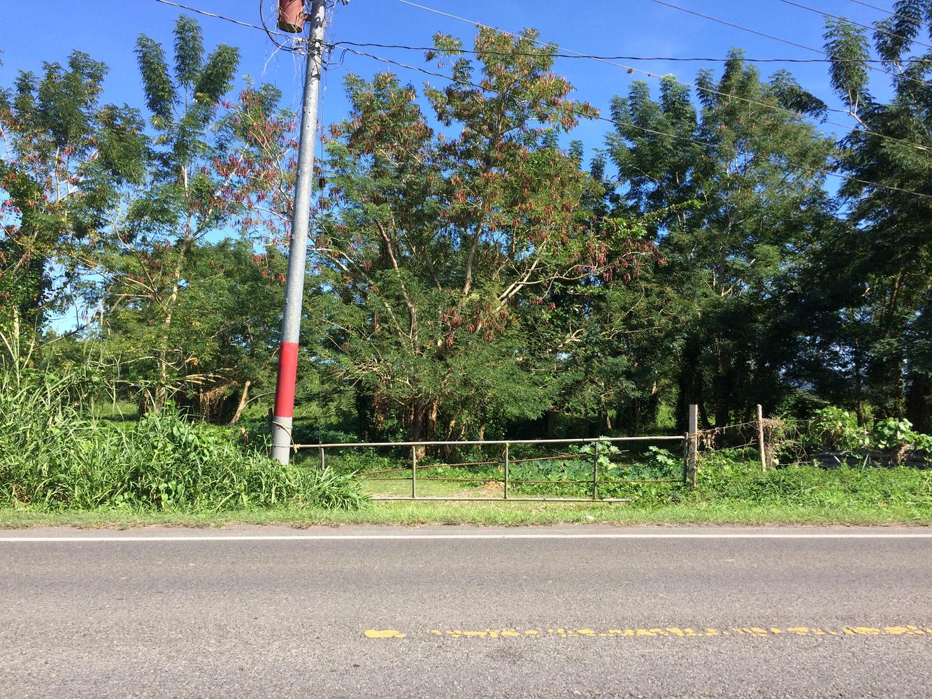
Vacant land parcel consisting of approximately 63.60 “cuerdas”, equivalent to 249,973.22 square meters and located on State Road PR-2 with the Añasco Municipality.
Location Influence:
Añasco Abajo Ward of Añasco is located approximately 1.56 miles west from the Municipality’s town core bordering State Road PR-2 where commercial properties can be seen.
In the immediate vicinity of many residential, commercial and industrial establishments including restaurants, gas stations, supermarkets, and other related services.
Site Coordinates:
- Latitude: 18°17’0.69”N
- Longitude: -67° 9’27.18”W
Location:
East of KM 145 of State Road PR-2, Añasco Abajo Ward, Añasco, Puerto Rico
Site area:
63.60 “cuerdas”, equivalent to 249,973.22 square meters
Zoning:
AR-1 (Agricultural Reserve 1)
Property ID (Tax code number):
154-000-008-04-901
-
Office Phone: (787) 778-7000Mobile: (787) 439-8884
-
Office Phone: (787) 778-7000Mobile: (787) 518-6676


The information contained herein is from sources deemed reliable, but is subject to errors, omissions, and withdrawal without notice.